Cycling Routes
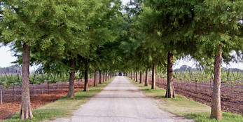
Park Road 4 - Kingsland Loop
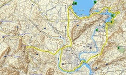
43 Mile Loop Starting at Hoover Valley Store and Cafe.
43 Mile Loop Starting at Hoover Valley Store and Cafe.
|
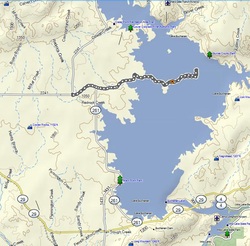
From the HV store and cafe head south on PR4 to its intersection with FM 2342. Turn right onto Fm 2342 to FM 1431. Turn right (north on 1431) and cross the Colorado River arm of Lake LBJ. About a half mile north turn off into a maze of local surface streets that wander through the “Llanorado” area of Kingsland. Join up with River Oaks Drive which rolls along beside the Llano River arm of Lake LBJ for a few miles to Llano Slab Road (FM 3404) and turn west. Just after joining 3404 descend to the Llano River where the road crosses at a geologic formation known as The Llano Slab. Rolling west from The Slab join CR 307 to TX 71, take a break and then return to the east. Cross the slab again and climb out FM 3404 to the east until it intersected FM1431. At that point turn north on 1431 and head up toward Lake Buchanan. After riding on to where FM1431 intersects FM 261, turn south riding along the west shore of Lake Buchanan to TX 29. Ride east on 29 across the Inks Lake bridge, right on Park Road 4 until you return to the cafe.
|
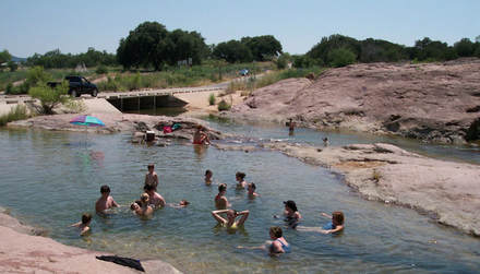
The Slab
|
|
|
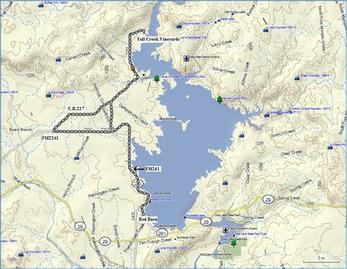
A 34 mile round trip. Returning from the vineyard, heading south, turn off to the right on Llano County Road 217 for a scenic detour through some Hill Country ranch land. This detour adds about 7 miles to the ride. Blog post.
|
|
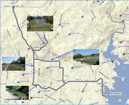
Lake Buchanan - Lone Grove - Babyhead Wildflower Loop
|
The route starts at Lake Buchanan North on CR 261 and west on FM 2241, north on CR 216 to TX 16. Then north to CR226 then north and east to the end of the paved road (San Saba County doesn't pave many roads.) Then back down to TX 16 and north to Cherokee for a burger at the Cherokee Store. Then back south on TX 16 to Llano CR 215, east to FM 2241 and back to the start. 61 miles of cycling heaven! Blog post.
|
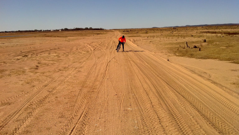
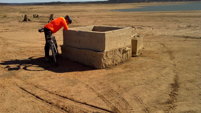
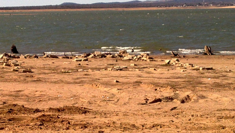
Mountain Bike Route to Old Bluffton (when the lake is very low.)
|
Old Bluffton - A town last seen when Lake Buchanan was first filled. The people who lived here from the 1850's until the 1930's may be gone but there are archeological clues to what was once a thriving, and vital, community. When the lake was very low from the drought what remained of the town emerged from the waters. There was a ferry at one time for crossing the Colorado River at Bluffton on the way from Burnet to Llano. Later a bridge was built, but what ever may be left of it is still well below the surface of Lake Buchanan. There was once a salt seep which was very important to the settlers. Soldiers at the fort in Burnet were shown the location of the salt by the Comanches. Old Bluffton was sited to be near both the salt works and a stretch of the river which would accommodate a ferry boat. From the Bluffton Store, mountain bikers experience 14.5 miles of road, sand, rocks and stickers. "Tough fun" on a mountain bike! Blog post.
|
|
|
|
Cyclists take a break in Castell.
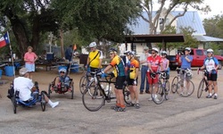
Cyclists in the Tour de Longneques at the famous Castell General Store about to head out for Llano before returning for a soak in the rapids on the Llano River, Brisket and Lone Star Longnecks.